

Name: Mt Manabu (Manabu Peak)
Elevation: 760+ MASL
Diffulty: 2/9
Location: Sto. Tomas Batangas
Jump-Off: Sulok, Brgy. Sta Cruz, Sto. Tomas
Features: Woodlands | Stunning view of the other mountains in Batangas
Mt. Manabu is simply among the all-time favorites of seasoned mountaineers. Newcomers would also do best to start on this mountain. Not only that it has one of the richest natural environments among the mountains in Batangas but it promises an enriching experience that first-time hikers would definitely learn from and would certainly make them love the sport. Its trail is a right combination of both chill and challenge. Chill because it’s fairly an easy hike with only a handful of assaults towards the summit. Challenge as it involves river crossing and steep assaults as you approach the peak. With the abundance of more glorified mountains around, Mt. Manabu stands out from the rest as it offers not just a stunning view at its peak but moments with strangers and new found friends over a cup of Alamid/Civet coffee you would surely cherish for the rest of your days.


THE CLIMB
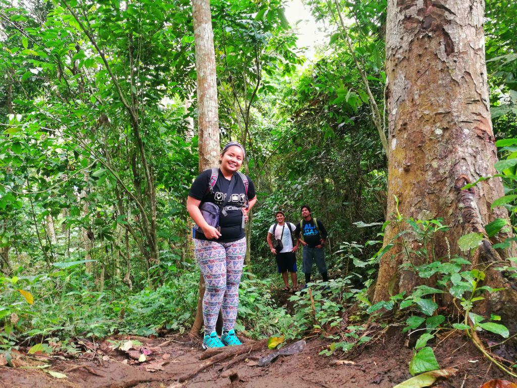
It was a cold Saturday morning in January this year that I finally had the chance to hike up the top of Mt. Manabu. After several cancelled plans, I am finally going into one of my dream hikes. I was with Ian, my boyfie/travel buddy and two of his bestfriends Pet and Dadzkie who were first time hikers. While this would be my 14th mountain, I knew those two newcomers would take this hike in a breeze and would even give me a run for my money. We were coming from Taguig and after the 3-hour trip, we arrived in Sulok, Brgy. Sta Cruz Sto. Tomas, Batangas.
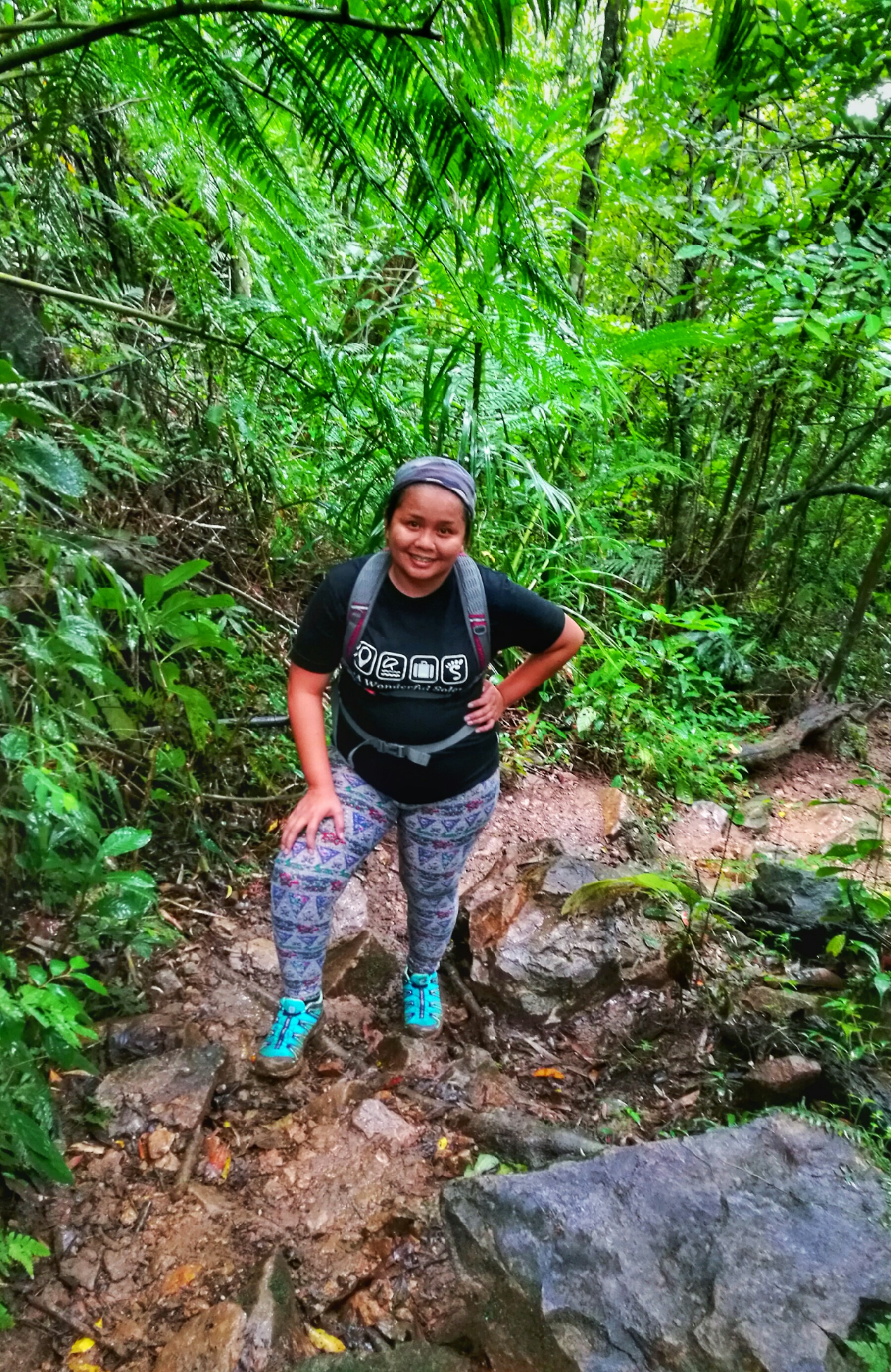
The sky was already threatening for a downpour while we were still on our way to the registration point. The past couple of days in Manila were filled with sunshine that I never expected the opposite in Batangas. Turns out it had been raining there since the day prior to our hike that we had been warned of an extremely muddy trail by the locals. While all over the internet Mt. Manabu is described as an easy 4-hour trek, the rain and a muddy trail could make ten times the difference. I was kind of having cold feet the last minute since navigating through muddy trails is my greatest weakness given how I have the worst of balance which reminded me of our hike in Mt. Daraitan when the supposedly 5-hour hike turned into one full day of stumbling and falling on my back.
While I hate hiking along muddy trails, I didn’t have any choice but to push through unless I can withstand those three hating me for days. We didn’t hire a guide despite my fear of getting lost, credit to my companions and their desire to save themselves 500 bucks that they can spend on drinks instead. Oh well if anything unthinkable ever happens, I have me three stubborn heads to blame.
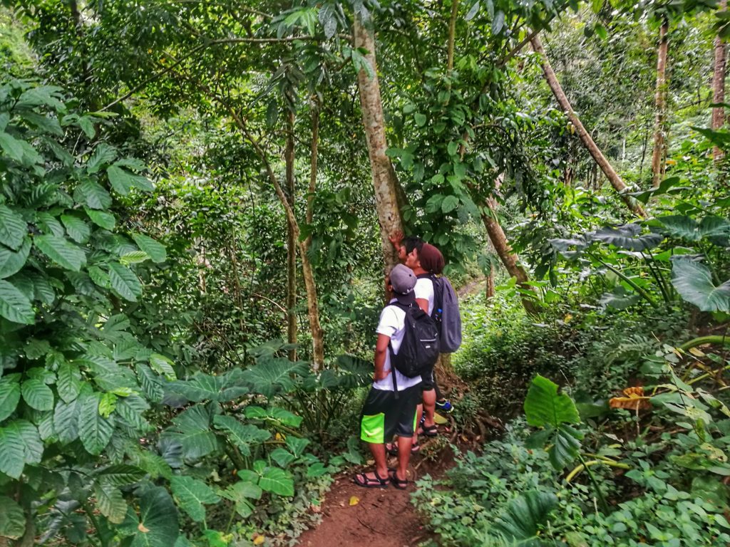
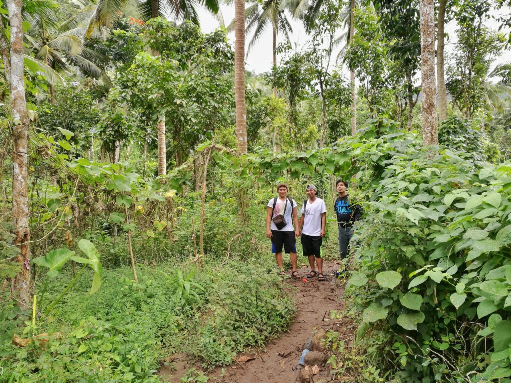
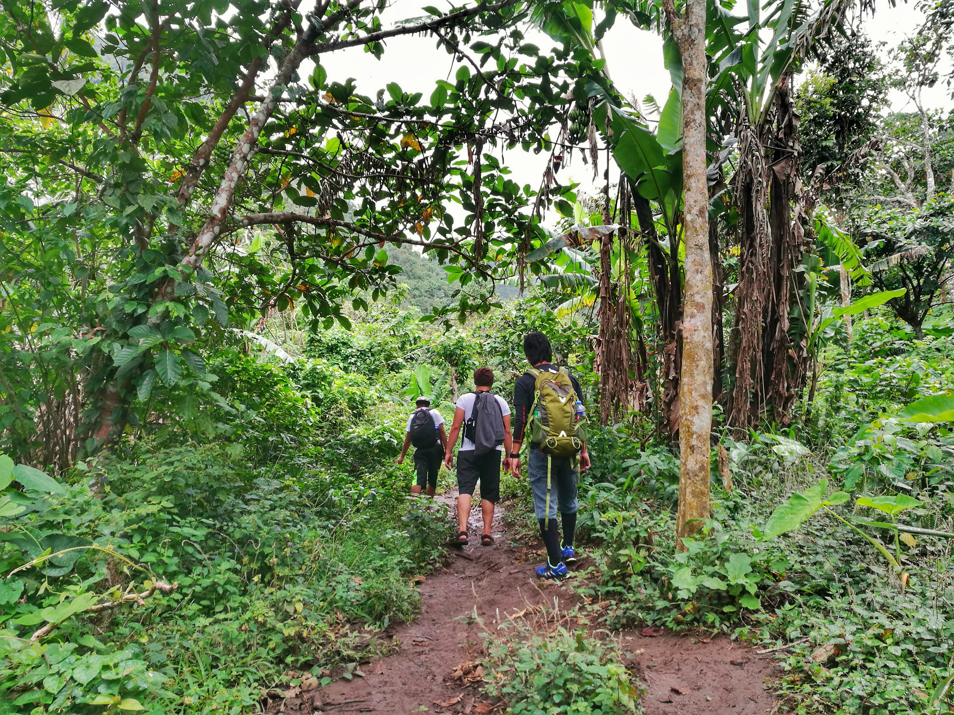
The hike kicked off with us crossing the grass covered land across the resting place at the jump off point. We passed by a water tank and walked three more minutes before reaching a fork that marked Station 1. This time, we were faced with our very first dilemma as we didn’t know whether we should keep walking straight down the muddy trail or take the other trail to the right. Good heavens for the three local passersby who told us which way to go.
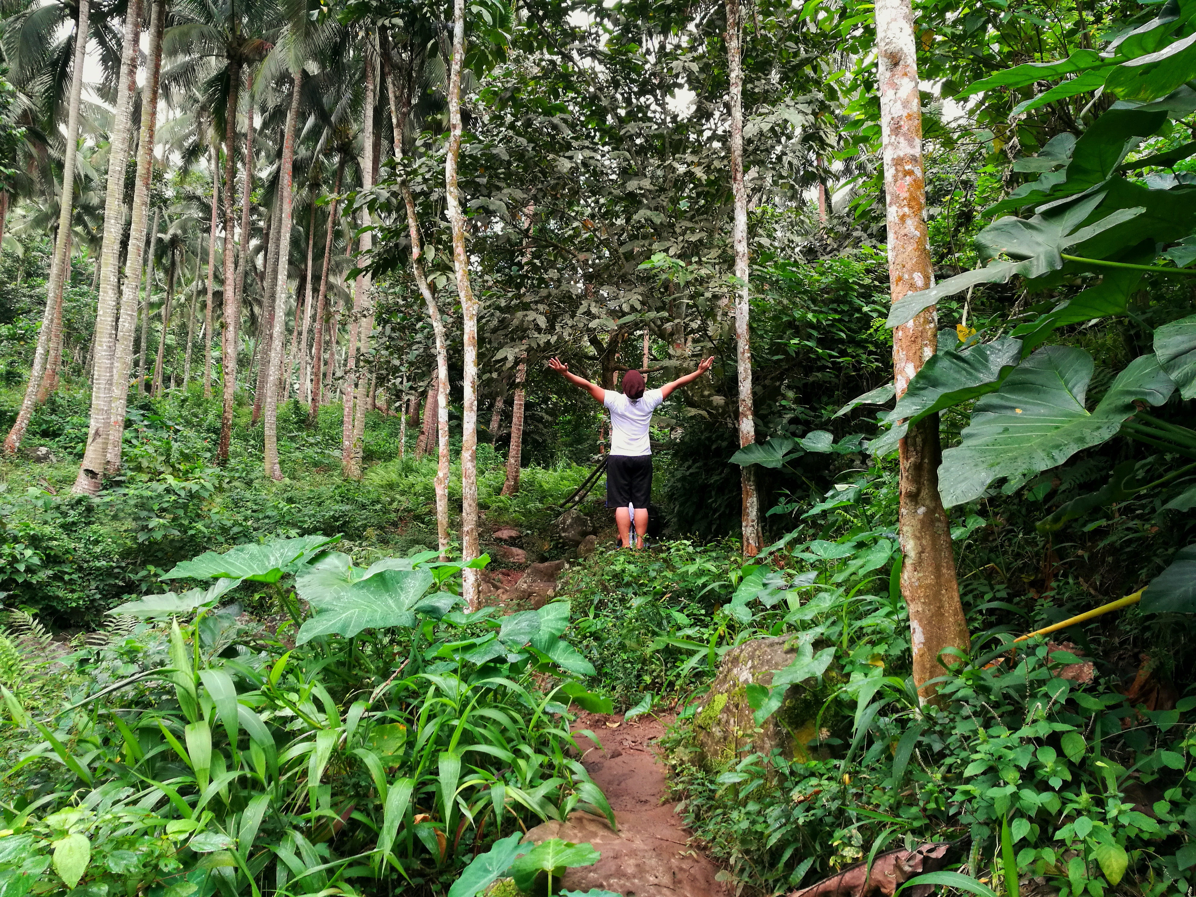
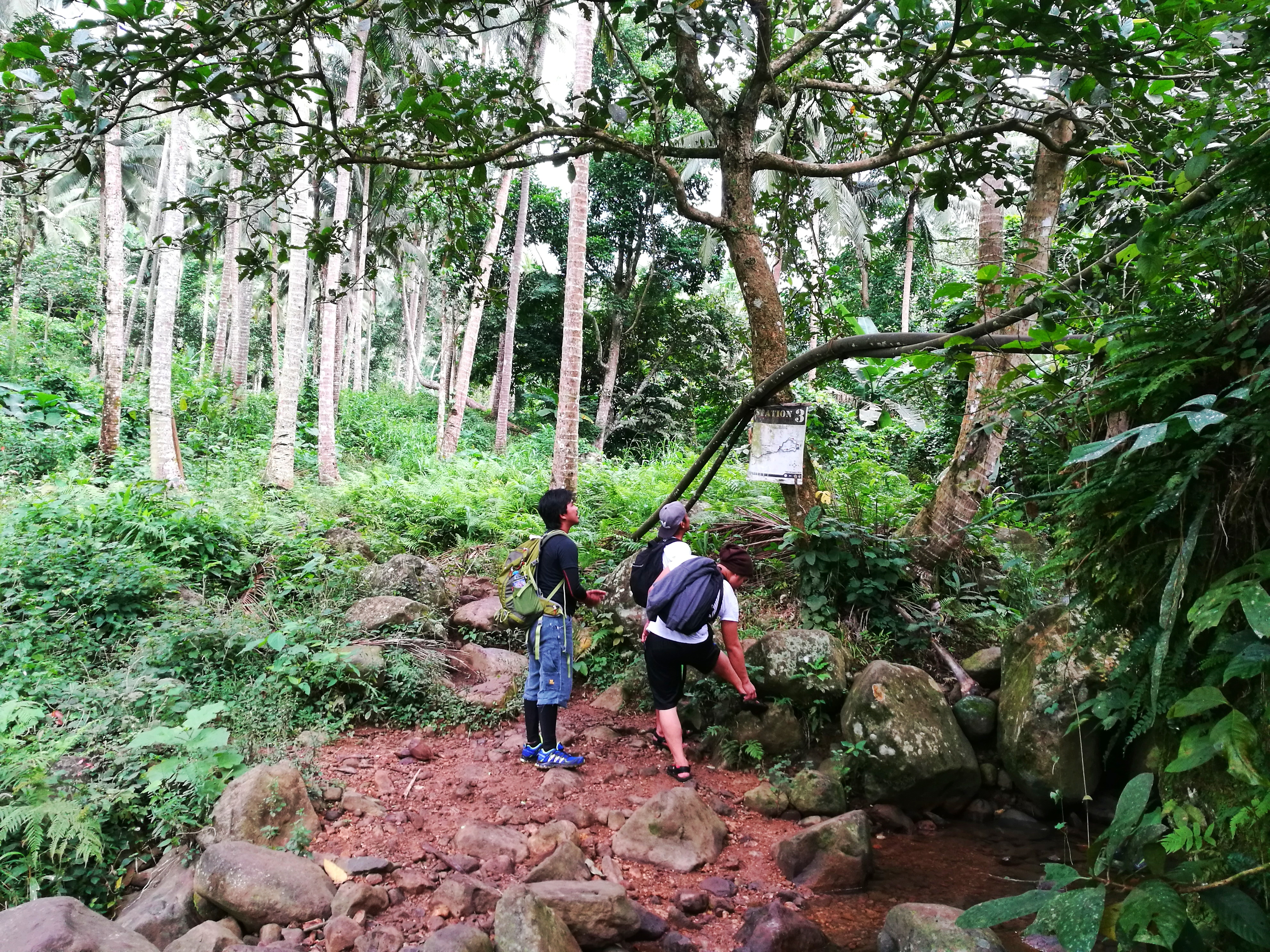
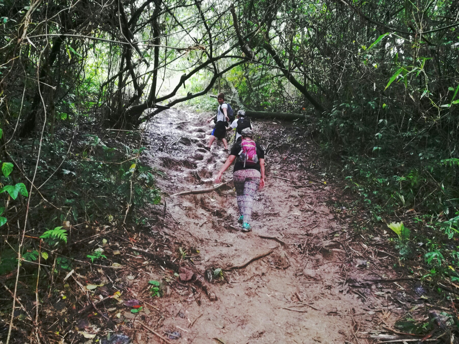
The trail that leads down into the woods was quite steep and slippery. Slowly and with careful steps, we walked until we reached a flat surface. After that, the trail became a series of muddy slopes with rugged parts. Fifteen minutes later, we reached Station 2 and went on to continue the hike to Station 3. The trail passed Station 2 was slippier and mostly consists of rocky slopes with steep descents. We didn’t stop for breathers as there was no need for it at that time. We knew we were in Station 3 upon reaching the stream which also bore its marker.
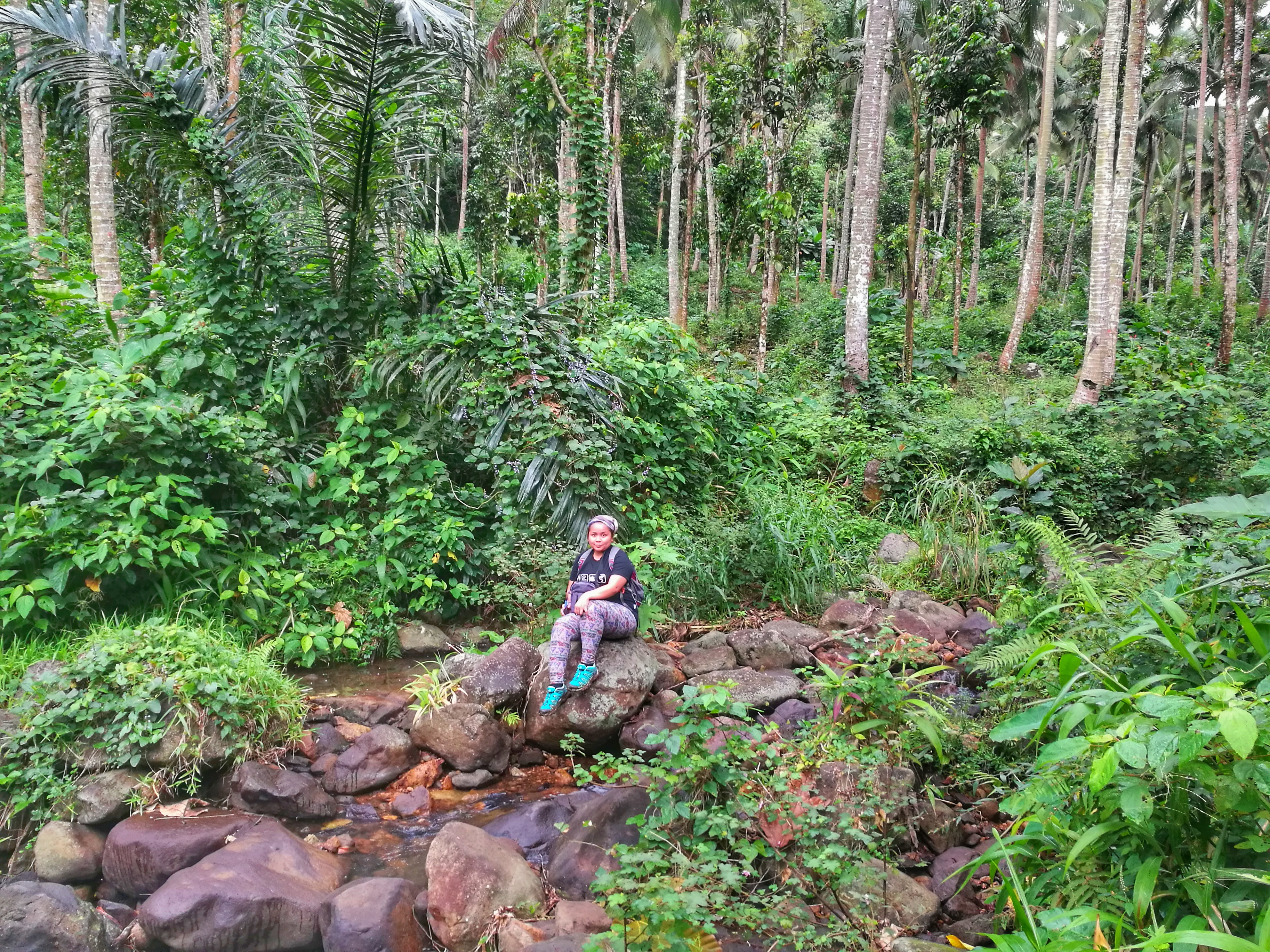
The stream expands to about 5 meters with scattered boulders covered in moss. The water flowing through was shallow, cold and clear. Passed that was a field of coconut with the resting camp to Station 3 situated a few walks away from the stream. We continued trekking passed the resting camp until we reached Station 4. Here we thought of stopping to catch us some air to prepare ourselves to a long and steep ascent to Station 5.
We took another 20 minutes to relieve ourselves of exhaustion. It felt awesome to have covered 4 stations in less than an hour without any breathers in between which is prolly the longest I’ve had since my first ascent almost 3 years ago. I am usually the take-five-every-five-minutes kind of hiker but that time, I was in the mood despite the difficulty caused by the extremely muddy trail. Perhaps I was just enjoying my company that it made things a lot easier to manage. Or maybe I was feeling no pressure as I knew those homies of mine were ever ready to come to my aid at anytime.
We resumed hiking when we heard voices coming towards us. We were kinda feeling playful that we wanted not to let the oncomers be ahead of us. We were trekking steadily at a quicker pace but still cautious of our assault since the trail was kind of worn out that we ended dragging our shoes out of the mud with our every step. There were also steep and rugged parts. Hiking up huge rocks was another arduous task that it slowed us down allowing the others to catch up to us. We couldn’t help but laugh at our mischief that we instead gave them room to advance.
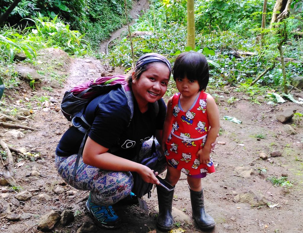
It might have taken us twenty minutes to reach Station 5. There we met the legend that was Tatay Pirying. If you’re wondering why is he a legend? Hmmm.. I think it’s because Mt. Manabu owes half of its popularity to Tatay Pirying and his alamid coffee. Don’t believe me? Then ask anyone who has hiked Mt. Manabu and most of them would tell you more about their moments with Tatay Pirying than the mountain itself.
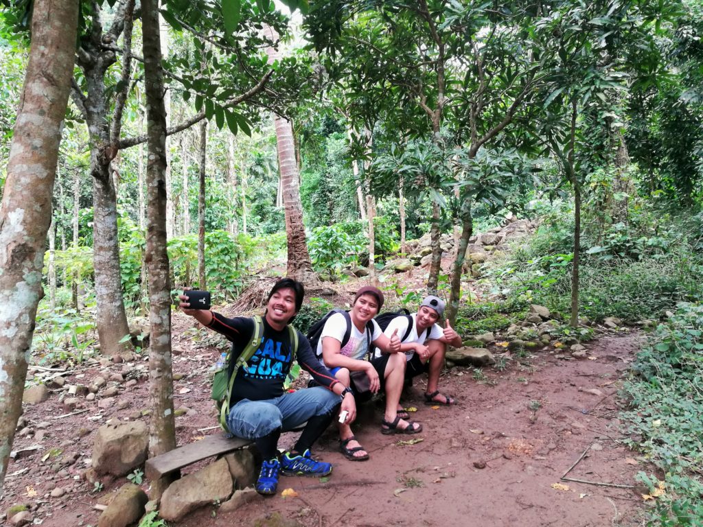
We lingered in Station 5 longer that we intended due to the unexpected heavy downpour which lasted for over 30 minutes. When the rain finally subsided off we went bracing the final assault to the summit. The trail was still a combination of soft earth and slippery rocks. Water flowing down from the top of the mountain caused some parts of the trail to erode imposing more challenge to the ascent. The hike was an assault all the way through the campsite. Passed the campsite was another steep 10-minute assault to the summit.
We reached the summit 45 minutes after we left Station 5. As soon as I set foot on Manabu Peak, I felt the same sense of fulfillment I’ve always had with every marvelous mountains I’ve climbed before. I marveled at the large cross planted in the middle of Manabu Peak. It was painted white. No ornaments. So simple but very commanding similar to the beauty of this mountain. We weren’t blessed with clear skies but its abundance was more than enough to make me fall in love. Whenever the wind would blow the clouds away giving us glimpses of a stunning view, we would snap ourselves some photos. We stayed at the summit a little while longer hoping for the sun to vie its way through the clouds but to no avail. We finally decided to start the descent when a bugs came to chase us off the summit.
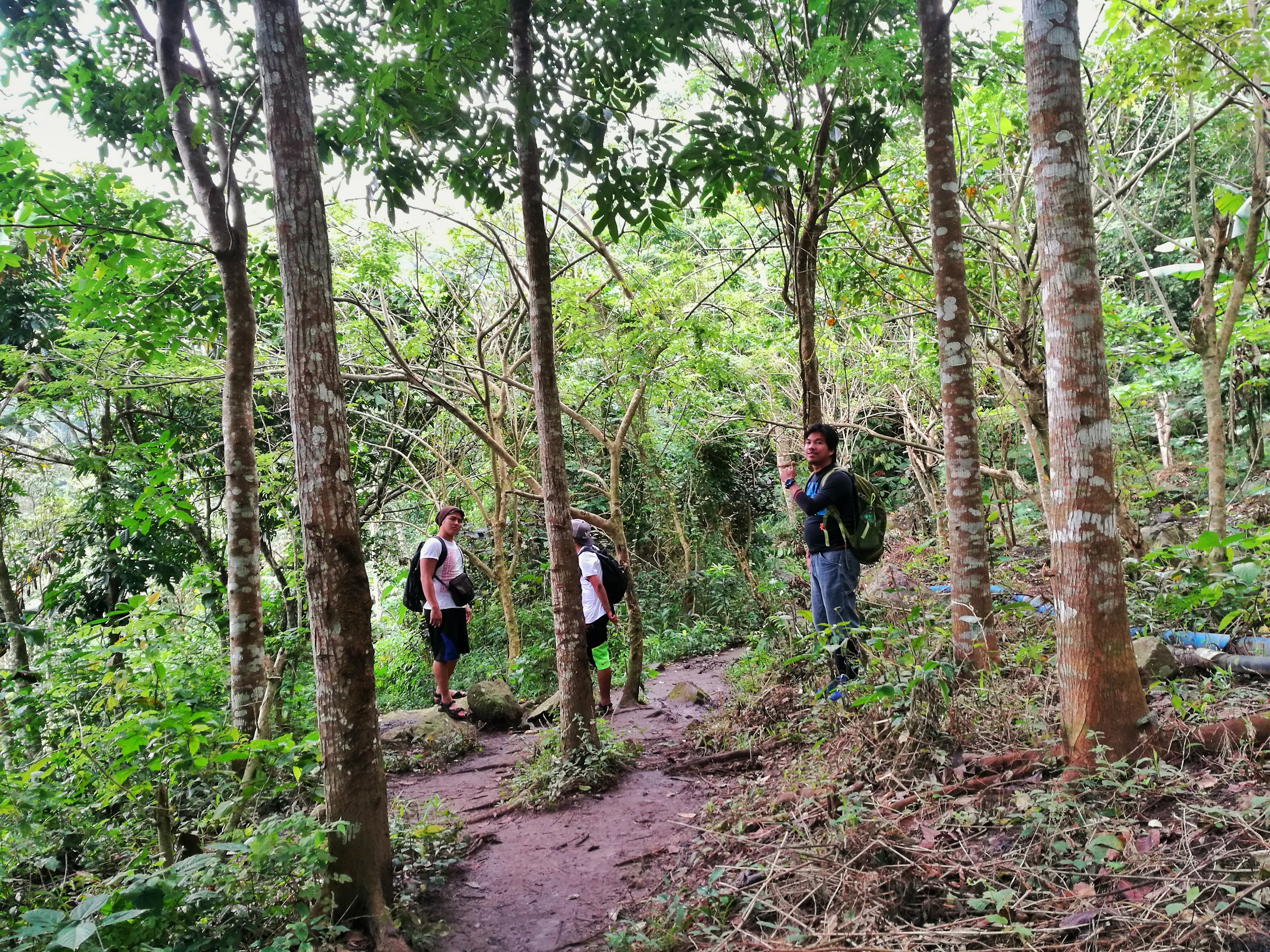
We took a different route going down that instead of going back to Station 5, we chose the path that led down to Station 7 to complete the loop which will lead us back to Station 4. We weren’t really sure which way it was so we decided to rely on our instinct instead. We all agreed that in the event that we took the wrong trail, we will just trace our way back to the summit and backtrail down to the foot of the mountain.
The descent was thrice as treacherous than the ascent with the first leg consisted of trekking down along huge slippery rocks before reaching a flat soften earth that stretched to about ten meters before it slid to an almost 90-degree descent. During the first ten minutes of the hike going down, it was obvious that this part of the mountain is less traveled considering how narrow the trail was in the middle of a seemingly unperturbed forest and how the grass rose past my waist. We also noticed that this is the more challenging trail prolly the reason why not many take this route. There was pretty much nothing we can hold on to prevent ourselves from falling on our backs. The side of the trail is mostly consist of rattan trees filled with thorns that lent us no help to alleviate the difficulty of the trail that we were rendered no other choice but to cut one of those rattan trees so we could use it as trekking poles.
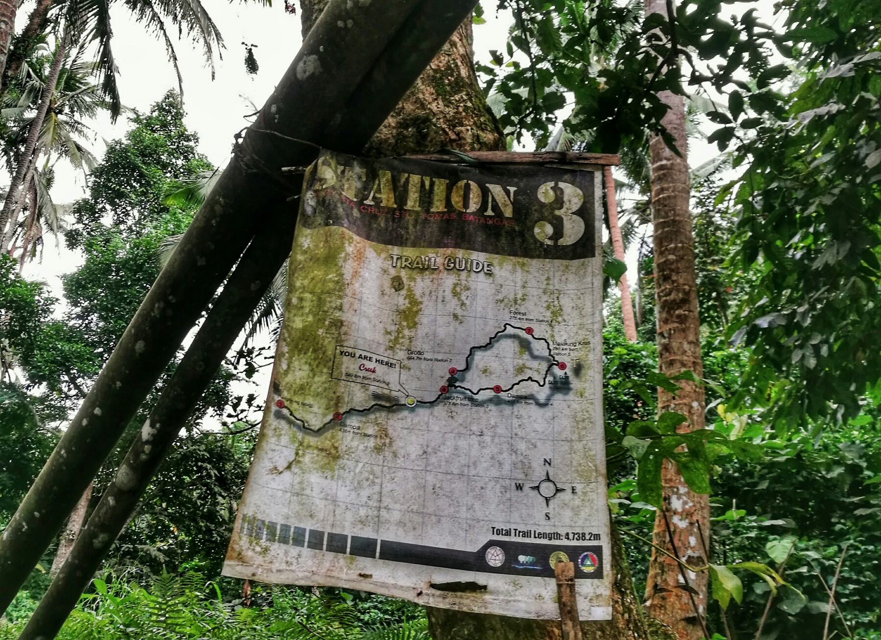
Even with the use of trekking poles, the seemingly endless descent along limestone rocks and mud had never been easy. It was even made impossible when the rain poured relentlessly while we were in the middle of the hike to the grotto. We were dripping wet upon reaching Station 8 (Grotto) after what might have been almost an hour. There we rested and waited for the rain to subside. When the rain stopped, off we continued the hike and in no time we found ourselves passing by the resting hut of Station 4 then went on to finish the hike back to the jump-off.
TIPS AND OTHER INFO
- The hike is overall an easy one but just like any other mountains, Manabu Peak has it’s fair share of challenges too. Please come prepared mentally and physically.
- Guide is not required and trail is straightforward so chances of getting lost is pretty slim.
- If you want to experience Mt. Manabu and it’s more challenging nature, try completing the rosary trail/the loop.
- The jump off is still a 10-minute drive away from the registration site.
- There is a designated parking space at the jumpoff for those bringing their cars.
- Campsite is spacious and can probably accommodate up to 20 tents.
- Reservation or prior booking is not required.
- Please bring rubbish bag to collate your waste and bring them down along with you.
- Always observe LNT.
- Manabu Peak can be a twin hike with Mt. Maculot or can be part of Malipunyo traverse with the other two peaks being Mt. Malipunyo summit and Susong Dalaga.
- Don’t miss alamid coffee. It’s good. Have as many cups as you like. Please remember to buy you some as well before going home.
HOW TO GO TO MT. MANABU
- Commute – From Buendia/Cubao Stations, ride a bus going to Lipa and alight in front of Robinsons Lipa (3hrs ; P124). Ride a jeep going to Fiesta Mall Junction (15 minutes ; P10). At the junction, ride a tricycle to Sulok (30 minutes ; P60). You will do a quick stopover at the registration office then will continue the ride to the jump-off.
- Private – Drive along SLEX then continue to STAR Tollway. Take the Lipa-Tambo exit. Pass the tollgate, turn right going to Lipa along JP Laurel Hwy. Continue driving along JP Laurel until you reach Fiesta Mall junction. Turn right at the junction and drive straight until the end of the road leading you to a T-junction. Turn left and continue driving until you reach the road leading to Brgy. Sta. Cruz. Don’t forget to stop by the registration site and ask further details leading to Sulok and the parking area.
MT. MANABU BUDGET, ITINERARY & OTHER INFO
| SUMMARY OF EXPENSES (4Pax without guide) | 2-way Bus Fare - P248 Jeep (Fiesta Mall Junction) - P10 Tricycle to Sulok - P15 Registration Fee - P20 Tricycle to Lipa - P15 Total <<>> P308 |
| SAMPLE ITINERARY (Dayhike) | 0500 Meet Up Buendia/Cubao Bus Station 0530 ETD Lipa 0730 ETA Lipa. Breakfast. 0800 Jeep Fiesta Mall Junction 0830 Trike to Sulok 0900 Register 0915 ETA Jump-Off. Final Prep. 0930 Start Trek 1000 Station 4 1030 Station 5 1100 Summit. Photo Ops. 1200 Lunch 1300 Start Descent 1400 Back at the Jump-Off 1500 SM Lipa 1700 ETA Manila |
| REGISTRATION AND OTHER FEES | Registration Fee: P20 Guide Fee: Day Hike - P500 ; Overnight - P1250 |
| CONTACT INFO | Mario (Guide) – 09994106990 |
SNAPS IN MANABU PEAK
People come and go. That’s the way life goes but, there are always those people who, in your heart, will make you feel home.


There you have it lovelies. I hope you enjoy reading our Manabu Peak Story. For questions and suggestions, just shoot me a comment below. Until next time. Ciao!

16 Comments
Ma’am anong station yung may tubig?
Hi Walter. Sorry. I couldn’t remember but there were two. One is is sa kubo ni tatay then the other after the summit.
Hi, may bayad po ba ang overnight camping sa Mt. Manabu? Thank you so much po!
Hello po. Environmental fee lang po. If you would get a guide, babayaran nyo rin po yun pero hindi nman po sya required.
Ano requirements? Need ba ng med cert para makapag climb and stay overnight?
Wala nman po requirement for hiking sa Batangas so far.
Anyone hiking in Dec 2020 or at least this covid season?
is children around 7 and 12 can go for a hiking on Mt,Manabu,how much is the guide fee,
Hi Elizabeth. Yes they can. Just avoid the rainy months as it can get really hard for kids. Guide is 500/5pax.
Hi, I want to go and hike there, but i dont have any companion with me, I am alone. is it possible?
Yup. It’s possible Elizabeth. Might as well secure a guide to accompany you on your hike. 😊
Maraming salamat! 😀 Very informative specially yung itinerary section na ginawa mo.
hi po.. may available ba na coffee sa registration area?
or any other means of buying the coffee.. please answer po huhuhu
Hi jake. Wala po. Dun po sa campsite ni Tatay halfway thru the summit 😊
Padagdag dn po..thanks..
Want to traverse..??
Manabu to malipunyo
Malipunyo to manabu
Guide: Allan Miranda(anak po xa n tatay tino)
Contact#:09099586191
Thanks po sa info ❤️